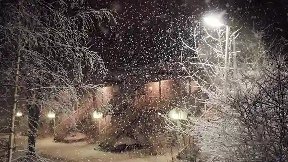
Why Snow Forecasts Change at the Last Minute

It’s a familiar scenario: the night before a predicted winter storm, forecasts look fairly consistent, but by early morning, everything has shifted. Schools might close unexpectedly, or a storm predicted to hit heavily may barely leave a trace. Understanding why snow forecasts change at the last minute helps families, students, and school administrators plan better and reduces the frustration of unpredictable winter weather.
The Complexity of Weather Models
Snow forecasting relies on sophisticated weather models that simulate how temperature, wind, precipitation, and other atmospheric factors interact. Meteorologists feed these models with countless data points, including satellite imagery, radar readings, and historical weather patterns.
Even with advanced technology, small changes in the storm’s path, speed, or intensity can lead to significant differences in snowfall predictions. A shift of just a few miles in a storm track can transform a heavy snow forecast into a light accumulation scenario for a particular town. This is why tools like the snow day predictor tomorrow are helpful they continuously update predictions as new data arrives.
Timing and Local Conditions
Another reason forecasts change is that snow impacts are highly dependent on timing. Snowfall that begins late at night may accumulate enough to make roads hazardous by morning, whereas snow that starts after buses have completed their routes may have little effect. Temperature fluctuations, wind speed, and existing snow on the ground also influence how forecasts are adjusted in real-time.
Local observations matter as much as raw forecasts. Reports from transportation teams, road crews, and nearby weather stations provide immediate feedback that can alter predictions. For families trying to plan, a school closing predictor by zip code or a snow day calculator for Monday can help interpret these changes in a practical way.
The Role of Temperature in Snow Predictions
Temperature can dramatically alter a storm’s impact. Slightly warmer conditions can turn what was forecasted as snow into slush or rain, while a drop of just a few degrees below freezing can result in icy roads and heavier accumulation. Meteorologists must continually adjust forecasts as temperatures fluctuate, which explains why predictions often shift at the last moment.
Why Forecast Accuracy Improves Closer to the Event
Forecasts made several days in advance provide a broad outlook but are less accurate for specific locations. As the storm approaches, meteorologists incorporate more precise data from radar and local stations, which allows for refined predictions. This is why a forecast for “snow tomorrow” may change multiple times in the 24 hours leading up to the event.
Online tools like the most accurate snow day predictor leverage this near-real-time data to provide families with updated probabilities that reflect last-minute changes.
Human Judgment in Snow Forecasting
Despite the sophistication of weather models, human judgment remains a key part of snow forecasting. Meteorologists interpret data patterns, consider local geographic factors, and account for uncertainties that models may not fully capture. For example, urban heat islands can slightly reduce accumulation in a city center compared to surrounding suburbs, while rural roads may remain icy for longer.
This human insight is particularly valuable for school officials making closure decisions. Even with probability-based tools, administrators must consider real-world conditions before announcing a snow day.
Snow Forecasts and Planning for Families
Understanding why forecasts change can help families respond more effectively. Instead of relying solely on early predictions, checking updated reports and probability calculators can provide a more realistic picture of potential closures. Tools like a snow day predictor calculator or school closing calculator are invaluable for planning commutes, childcare, and daily routines.
Final Thoughts
Snow forecasts are constantly evolving because winter weather is inherently complex. Small changes in storm tracks, temperature, timing, and local conditions can dramatically alter predictions. By understanding these dynamics and using reliable tools like a snow day chance calculator or snow day predictor tomorrow, families can prepare for winter storms with greater confidence.
Accurate forecasting combines science, local knowledge, and human judgment, making snow day predictions both an art and a science. While last-minute changes are inevitable, being informed helps minimize disruption and ensures safety remains the top priority.